Construction begins on new, more accurate GPS system in Southland
A new, more accurate GPS system is being set up in Southland, with hopes it could have huge and widespread benefits.
The trans-Tasman collaboration will see global positioning improved to within just a few centimetres.
“It’s the next best things since GPS has happened for rescue helicopters,” pilot Rob Arrowsmith said.
The system’s called SouthPAN. It improves New Zealand’s current GPS infrastructure with upgraded satellite receivers, bringing the margin for error in global positioning down from about 5-10 metres to just 10 centimetres.
As well as benefits for rescue helicopters, the system’s advantages could include farmers running GPS powered tractors or managing livestock with GPS collars. Ship tracking would significantly improve and regional flights could operate in poor visibility.
“It’s been something that’s been happening overseas in North America and Europe for about ten years now,” Arrowsmith said.
“It’s allowing them to get more patients, more often, and give more certainty that they’ll be treated despite the bad weather.”
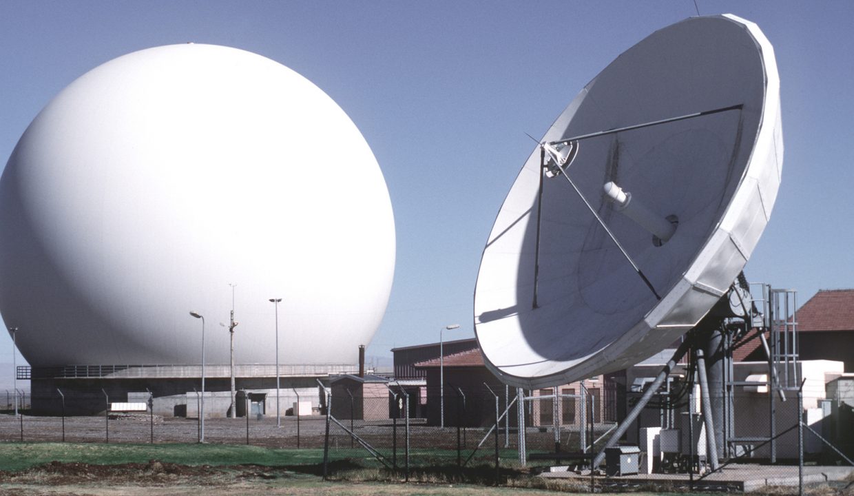
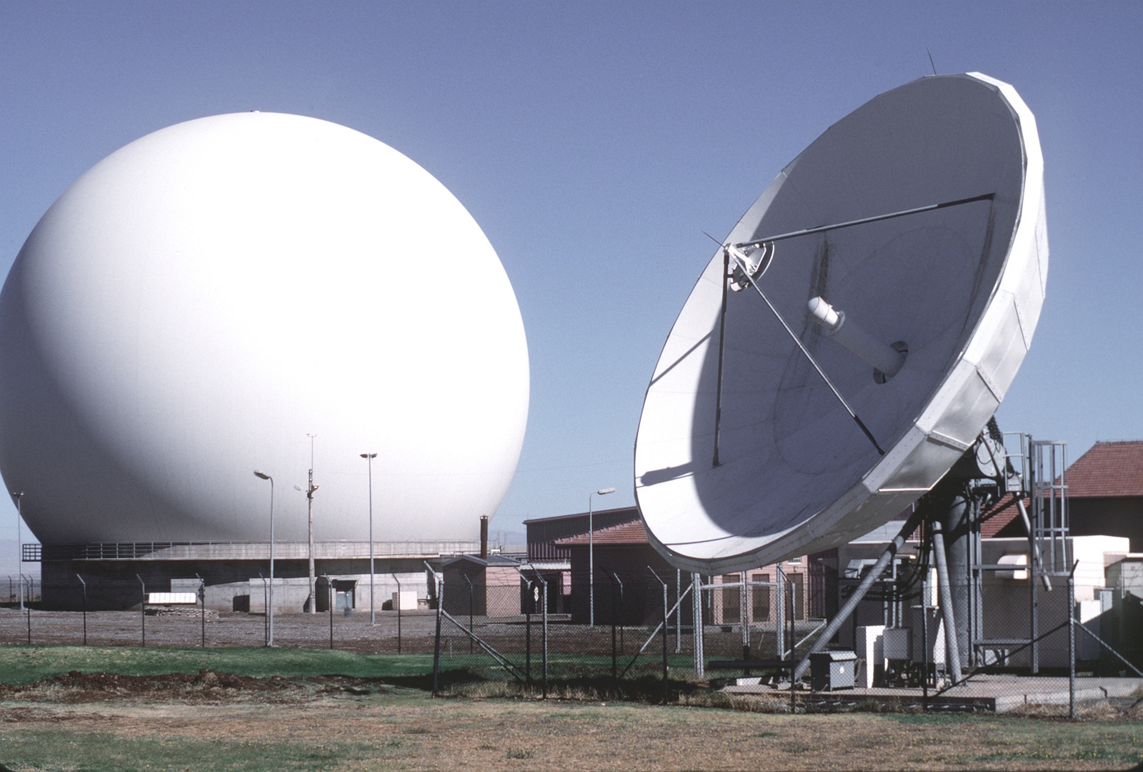
The plan is to build two dishes, along with a control centre to be operated 24 hours a day.
“We’ll get six people to operate the mission control centre to keep it all going,” Space Operations NZ CEO Robin McNeill said.
New Zealand’s contribution will be about $700 million, with about $850 million expected in returns over 20 years.
The total cost will be about $1.5 billion with Australia’s contribution, Australian Deputy High Commissioner Amy Guihot said.
“I don’t think we could afford to do it on our own,” Land Information Minister Damien O’Connor said.
“The platform will provide potential opportunities for new businesses, not just the ones that take it up now,” he added.
The network is planned to be online by 2028.

남섬에서 보다 정확한 GPS 시스템 건설 시작
보다 정확한 GPS 시스템이 남섬에서 건설되고 있다.
Trans-Tasman 협력을 통해 진행되는 이 프로젝트는 크고 광범위한 혜택을 가져올 것으로 기대된다.
이 시스템은 SouthPAN이라고 불리는데 업그레이드 된 위성 수신기로 뉴질랜드의 현재 GPS 인프라를 개선하여 글로벌 포지셔닝의 오차 범위를 약 5-10m에서 단 10cm로 줄일것으로 기대하고 있다.
구조 헬리콥터 뿐만 아니라 농장에서 농부들이 GPS 기반 트랙터를 운전하거나 GPS로 가축을 관리하는 것 등이 포함된다. 또한 선박 추적이 크게 개선될 것으로 보이며 지역 항공편은 안개가 자주 일어나는 악천후에도 운항할 수 있다.
파일럿 Rob Arrowsmith는 이번 프로젝트로 “악천후에도 환자를 병원으로 이송하고, 그들이 제대로 치료를 받을 수 있도록 도울수 있어 너무 기쁘다.”고 1 뉴스와의 인터뷰에서 밝혔다.
이번 시스템은 24시간 운영되는 제어 센터와 함께 두 개의 안테나를 건설하는 것으로 뉴질랜드에서는 약 7억 달러가 투입되었고 호주에서는 15억 달러를 투입한 것으로 알려졌다.
이 공사는 2028년 건설을 마무리할 예정이다.
